


The Natchez Trace Parkway is a journey like no other. It roughly follows a historic travel corridor called the “Old Natchez Trace” used by American Indians, “Kaintucks,” European settlers, slave traders, soldiers, and important historical political figures (such as Meriwether Lewis of the Lewis & Clark Expedition). While today’s travelers in Lewis County can enjoy many activities and points of interest amidst soaking up the natural beauty, the historical significance and attractions of the Natchez Trace Parkway bring thousands of visitors to the area every year.
A Scenic Drive Through Lewis County with History at Every Turn.
The heyday of this prominent pathway, considered as one of America’s first national transportation routes, was from about the 1770s to 1820s used as a link from Natchez, Mississippi to Nashville, Tennessee. But the historical significance of the Natchez Trace goes back much further than the 1700s. Native Americans following traces of bison and other game for centuries prior, further improved this walking trail for foot-borne commerce between major villages located in central Mississippi and middle Tennessee.
What makes the Natchez Trace Parkway so special for Lewis County?
The Natchez Trace Parkway is where history and beautiful scenery are woven together. In Lewis County specifically, top historical sites frequented by visitors and locals include:
- Grinder’s Stand: Grinder’s Stand was a historic inn, or “stand” as it was referred to in the old days, located on the Natchez Trace. This is the location at which Meriwether Lewis died by suicide (as suspected by his friend and colleague, Thomas Jefferson) or homicide (as suspected by his family). While the original structure no longer exists, a replica containing an exhibit about Lewis’ life can be visited today at the Meriwether Lewis Park located on the Natchez Trace Parkway in Lewis County, east of Hohenwald.
- Metal Ford: This ford is located along the wide and fast flowing Buffalo River. It allowed past travelers on the Natchez Trace to cross the river and takes its name from its stone bottom, which reminded frontier travelers of a stone-surfaced or “metaled” roads of the day. A five-minute stroll beyond Metal Ford leads you beside the river to the McLish Stand exhibit and then back to this point by way of the historic mill trace. Here you will find a hiking trail, a short segment of the original Natchez Trace, a small picnic area, and a bit of history.
- Napier Mine: Napier Mine is located on the Natchez Trace Parkway at milepost 381.8. The mine was an open pit mine which provided most of the ore for the nearby iron making operations. John Catron, who then ran the business under the name of Buffalo Ironworks, was a principal promoter of the activities here in the 1820s and 1830s. The mine took its name from Catron’s predecessors, the Napiers. Today, there are two information panels with the story of the mine and a viewing area overlooking the mine pit. Nothing else remains of the operation.
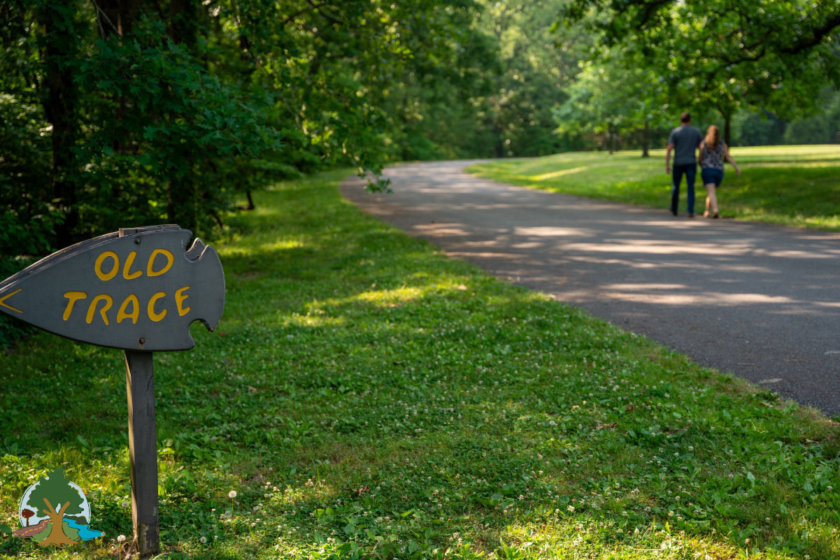
- Old Trace Drive: This 2.5-mile road (one way north) follows the original Natchez Road route. Several overlooks provide tranquil views of the countryside. RVs and buses are prohibited due to the narrow road and low hanging limbs. While on the Old Trace Drive, you will be driving on a section of the Old Natchez Trace and see for yourself this frontier road much as it appeared in the early 1800s. This is an especially great place to view fall colors from the comfort of your vehicle.
A Trip of Historical Significance!
Just imagine driving through nearly 10,000 years of history! That’s essentially what you can do when you travel down the Natchez Trace Parkway. The original Old Natchez Trace trail and present-day Parkway (maintained by the National Park Service) is the site of significant historical events surrounding the settlement of the Southeastern United States in the mid to late 1700s and early 1800s. But people have literally walked the Natchez Trace for thousands of years.
The Old Natchez Trace was carved out along the trade and travel routes of Native American tribes as they journeyed to and from Northern Tennessee to Southwest Mississippi. Early pioneers also utilized the original route long used by the Native Americans for trade as the Southeastern U.S. was being settled in its infancy. By the time of European settlement, the route had become well known and established as the fastest means of communication between the Cumberland Plateau, the Mississippi River, and the Gulf of Mexico settlements of Pensacola, Mobile, and New Orleans.
The National Park Service has a historic marker on the Old Natchez Trace near the Grinders Stand in Lewis County, which affirms that it was the first national road constructed by the Federal Government to connect the southeastern boundaries of the United States to Washington, D.C. Just try to imagine the countless remarkable individuals who roamed this significant pathway throughout history.
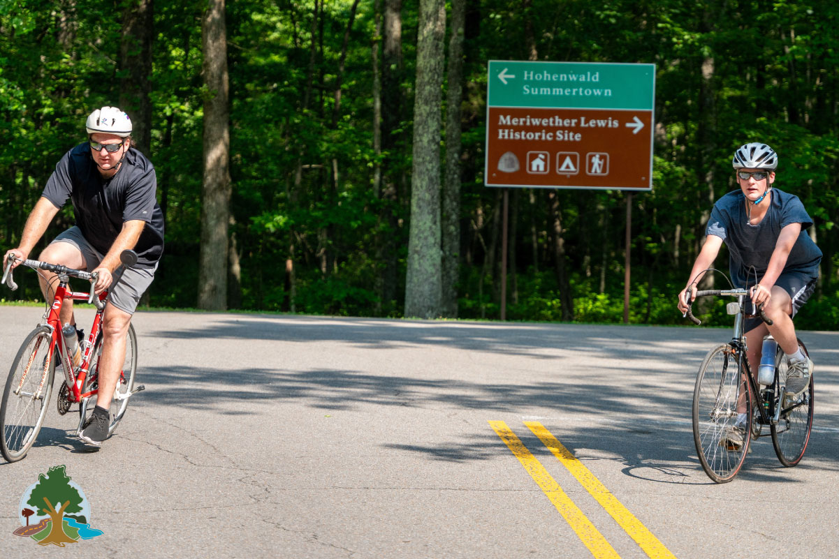
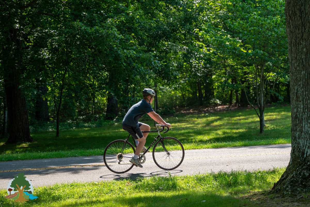
Discover the history and numerous recreational opportunities that can also be found along the Natchez Trace Parkway. Needless to say, there is plenty to do and see along the way. Start here to chart your journey and get ready for an experience you won’t soon forget!